Federal Dependencies · Venezuela · 10°55′N 65°18′W
Isla La Tortuga
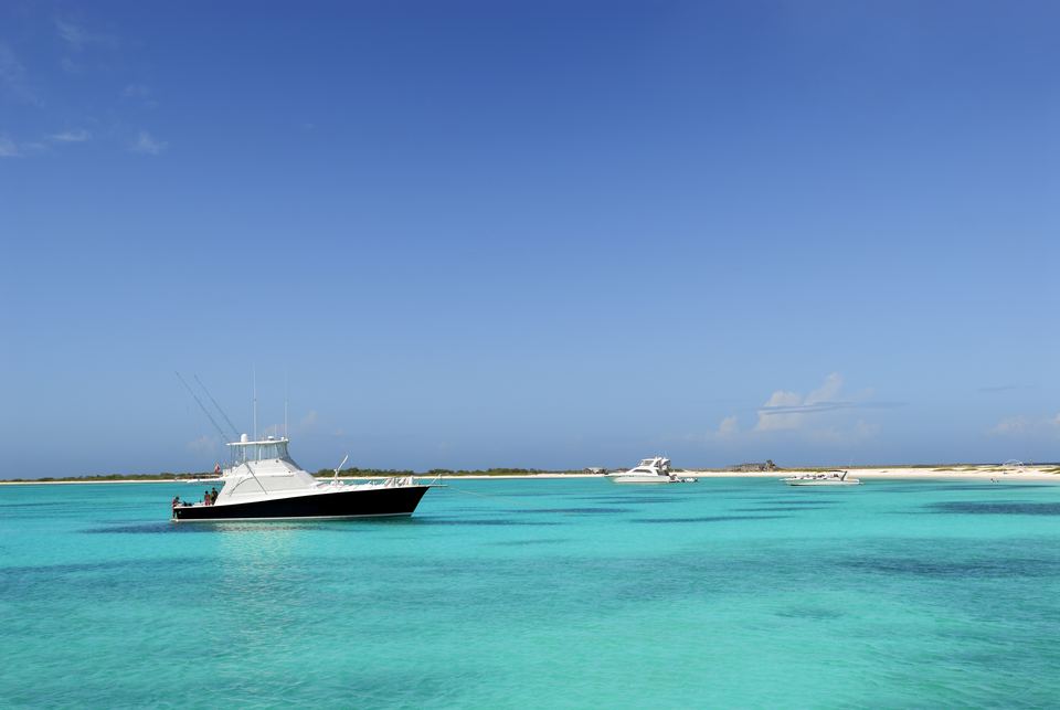
Venezuela's second-largest oceanic island, with no permanent population: salt, sand and wind, about 85 km off the coast.
Discover the islandPhoto: © islalatortuga.com
An homage
The turtle of the Venezuelan Caribbean
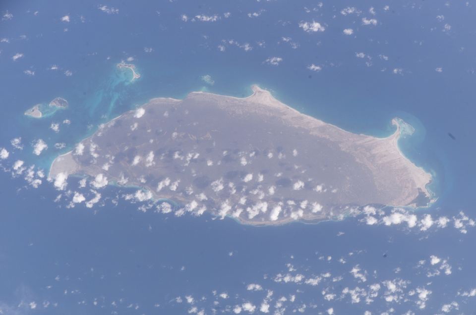
La Tortuga and its cays cover about 156 km² of coral limestone, some 85 km from Higuerote.[1] No one lives here permanently. It is a Federal Dependency, administered directly by the national government, and it is ringed by smaller cays: Cayo Herradura, Los Tortuguillos, Los Palanquines.[1]
Explore
 01
The Island
About 156 km² of coral limestone, salt lagoons and white sand
 02
History
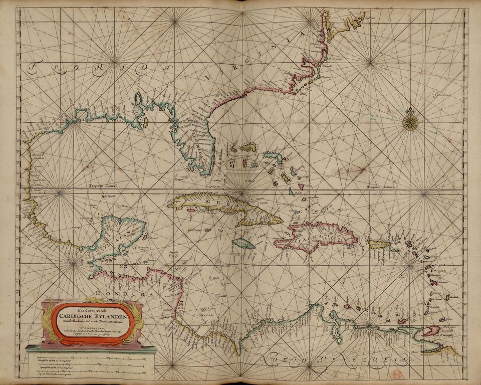
Dutch saltpans, the 1638 attack and New England salt-rakers
 03
Nature
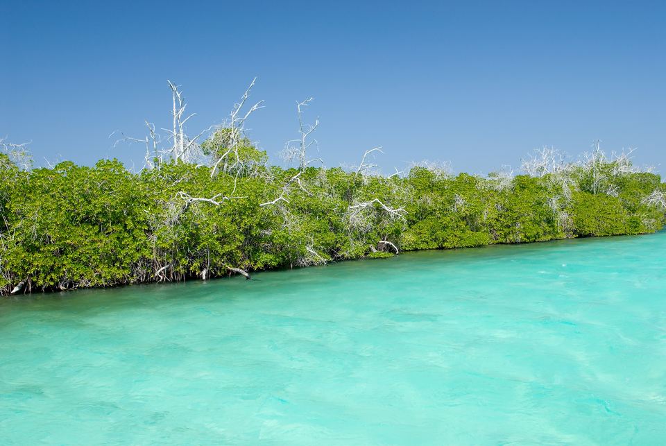
Mangroves, shorebird lagoons and nesting turtles
 04
Fishing & Sports
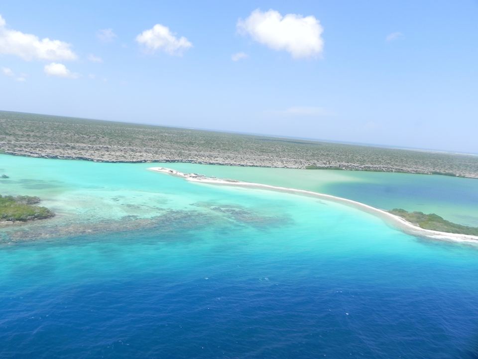
Lobster, trade winds and reefs, with respect for the conch
 05
Landmarks
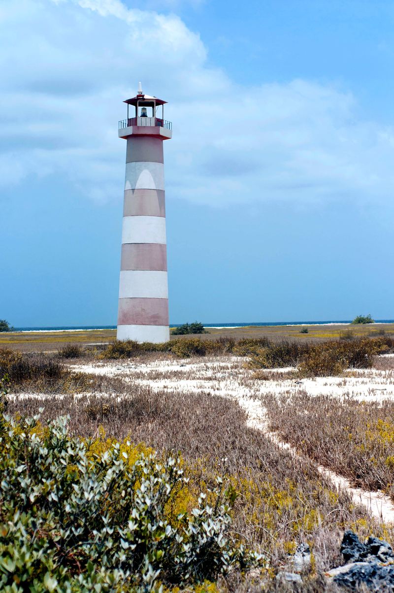
Cayo Herradura, Punta Delgada, Los Tortuguillos
 06
Getting There
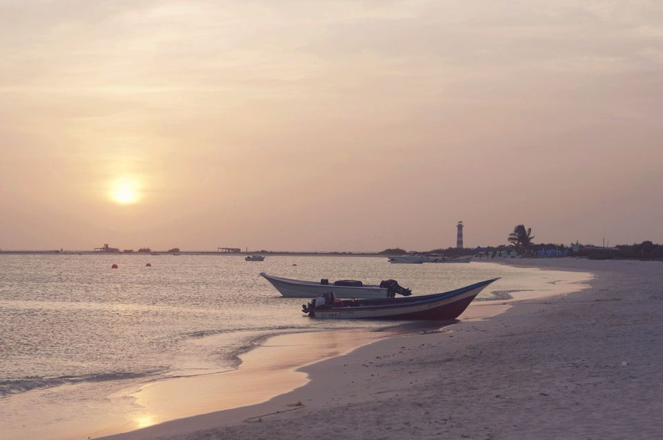
By boat from Higuerote, 2–3 hours
Photo: Hendrick Doncker (1672), CC BY-SA 4.0, Wikimedia Commons

History
Salt, not pirates
The pirates' Tortuga is Haiti's. This one was coveted for its salt. From 1624 the Dutch turned its lagoons into saltpans for their herring industry; between June and August 1630 alone, seven fluits loaded about 1,430 tonnes.[2] In 1633 the Spanish flooded the great pan, now Los Mogotes Lagoon, and in 1638 the governor of Cumaná, Benito Arias Montano, stormed the Dutch fort.[3]
Read the history →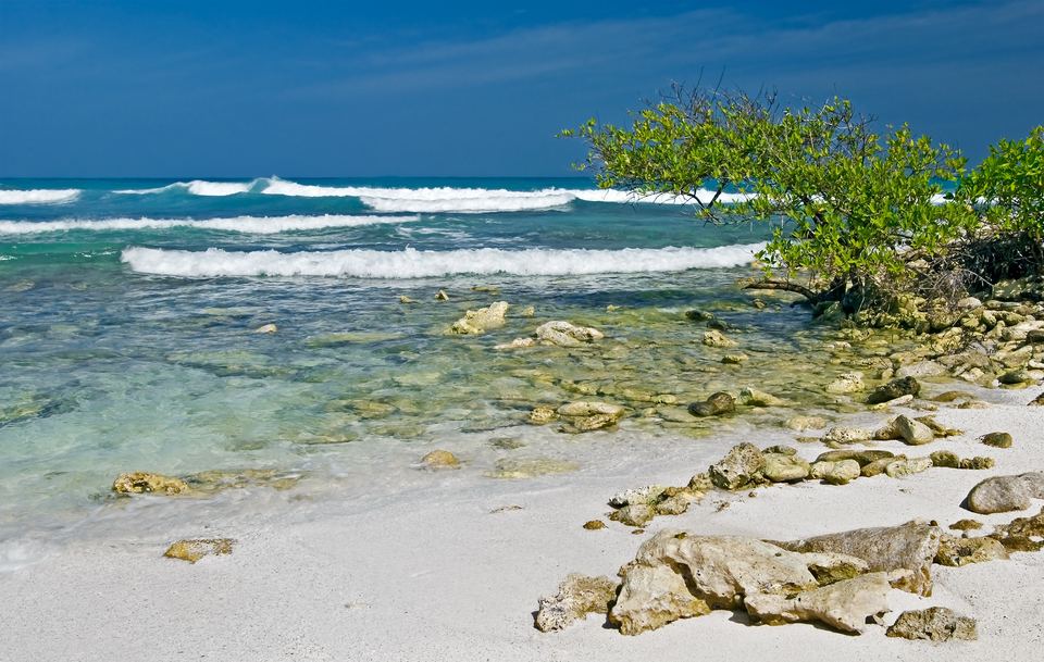
Conservation
Five turtle species, one fragile island
All five of Venezuela's sea-turtle species use La Tortuga to feed or nest.[4] Between August and December, hundreds of migrating shorebirds reach its lagoons.[5] Learn about the threats, the work of Fundación La Tortuga[6] and how to visit lightly.
How to helpPhoto: © islalatortuga.com
Landmarks
Cays, points and lagoons
Cayo Herradura and its lighthouse, Playa Caldera at Punta Delgada, the Los Mogotes and Boca de Cangrejo lagoons: explore them on the interactive map, with coordinates from verifiable sources.
Open the map →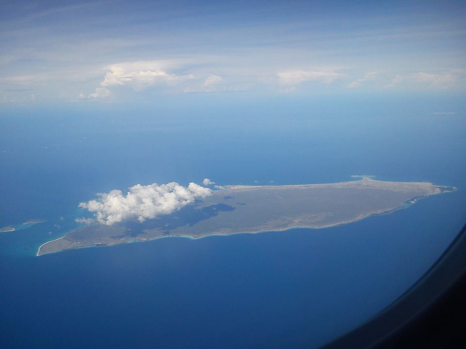
Photo: sildibiasi, CC BY 3.0, Wikimedia Commons

Directory
Getting there, staying, exploring
- Camp & transfers · Higuerote
HigueroteOnline
Weekend packages to Cayo Herradura (3 days, 2 nights) with transfer by standard boat, passenger yacht or sport boat from Higuerote, meals and a beach bed.
- Camp · Cayo Herradura
Alastour Viajes y Turismo
Eco-camp on Cayo Herradura with Friday departures from a private marina in Higuerote; cabins, meals and trips to nearby beaches. National Tourism Registry (RTN) 15.744, according to its website.
- Lodging · Punta Delgada
Chelonia Eco Village
Eco-hotel at Punta Delgada, in the Playa Caldera area. It is the only hotel-style lodging we found on the island. Agencies such as HigueroteOnline include it in their packages.
Listings are free and are not endorsements. See the full directory →
Sources
- Wikipedia (es): «Isla La Tortuga». https://es.wikipedia.org/wiki/Isla_La_Tortuga
- Antczak, A. et al. (2015). "Risky business: historical archaeology of the Dutch salt enterprise on La Tortuga Island, Venezuela (1624–38)". Post-Medieval Archaeology 49(2). https://doi.org/10.1080/00794236.2015.1124193
- Antczak, Konrad A. (2019). Islands of Salt: Historical Archaeology of Seafarers and Things in the Venezuelan Caribbean, 1624–1880. Leiden: Sidestone Press (Taboui 6). Open access. https://www.sidestone.com/books/islands-of-salt
- Fundación Tierra Viva: «#SomosBiodiversidad: notas sobre la Isla de La Tortuga». https://www.tierraviva.org/somosbiodiversidad-notas-sobre-la-isla-de-la-tortuga/
- Marín Espinoza, G. et al. (2011). «Diversidad de aves playeras (Charadriiformes) asociadas a humedales de la isla La Tortuga y sus cayos». Boletín del Instituto Oceanográfico de Venezuela 50(1): 49–57. https://desarrollosustentableve.com/wp-content/uploads/Marin-et-al-2011-Diversidad-La-Tortuga.pdf
- Fundación La Tortuga (official site). https://fundacionlatortuga.com/
- Wikipedia (en): "La Tortuga Island". https://en.wikipedia.org/wiki/La_Tortuga_Island
- Open-Meteo: Weather Forecast API and Marine Weather API (CC BY 4.0). https://open-meteo.com/