| Image | Description | Author | Licence | Source |
|---|---|---|---|---|
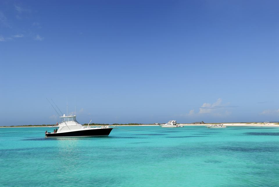 | Sport-fishing boat anchored in turquoise water off a white-sand beach on La Tortuga | Photo: © islalatortuga.com | All rights reserved | islalatortuga.com |
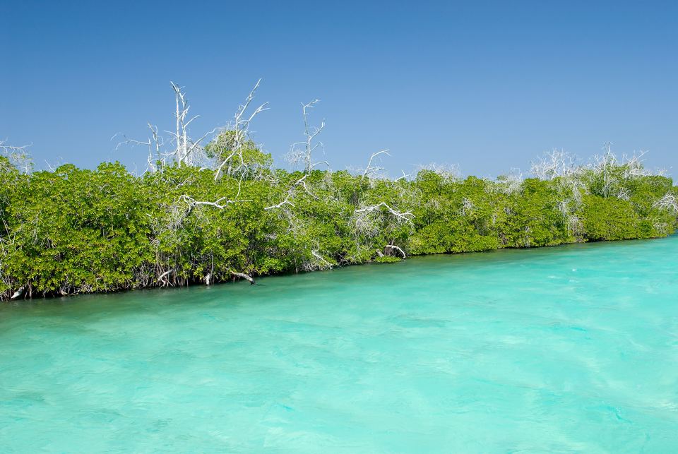 | Mangroves at the water's edge on La Tortuga | Photo: © islalatortuga.com | All rights reserved | islalatortuga.com |
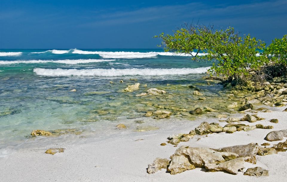 | Rocky limestone shore with coastal vegetation on La Tortuga | Photo: © islalatortuga.com | All rights reserved | islalatortuga.com |
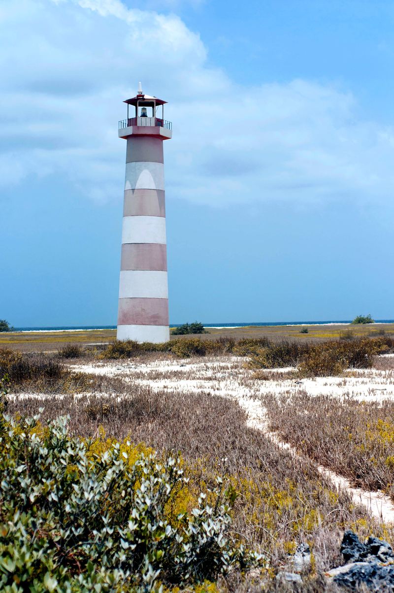 | Red-and-white striped lighthouse among coastal scrub on Cayo Herradura | Katepalitava | CC BY-SA 3.0 (edited: colour and contrast) | Wikimedia Commons |
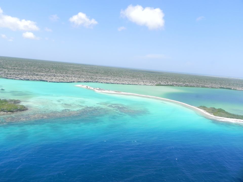 | Aerial view of turquoise reef flats and a white sand spit at La Tortuga | Hermanditt | CC BY-SA 3.0 (edited: horizon straightened, cropped, colour and contrast) | Wikimedia Commons |
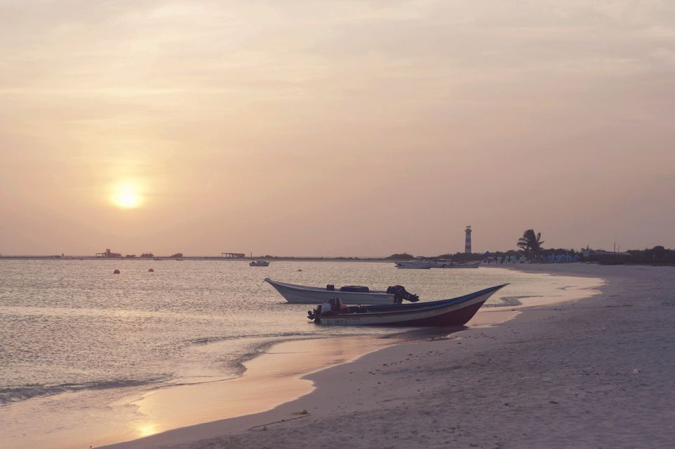 | Sunset on Cayo Herradura with fishing boats pulled up on the sand | Katepalitava | CC BY-SA 3.0 (edited: colour and contrast) | Wikimedia Commons |
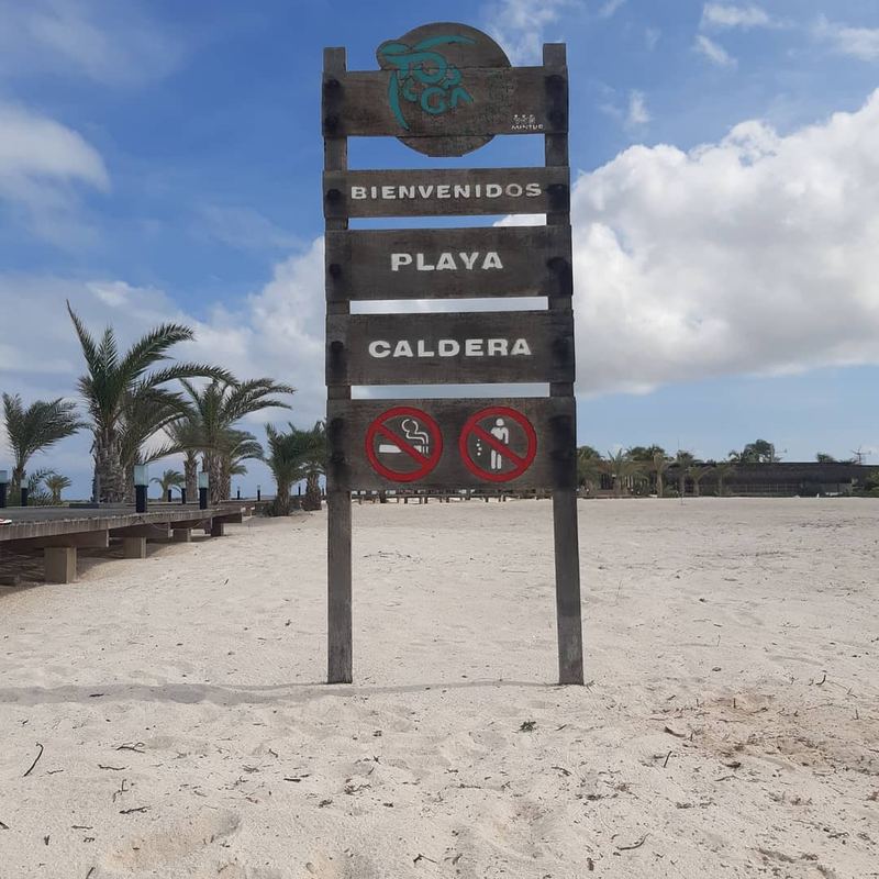 | Welcome sign at Playa Caldera with palms and a wooden boardwalk | Baileymay17 | CC0 | Wikimedia Commons |
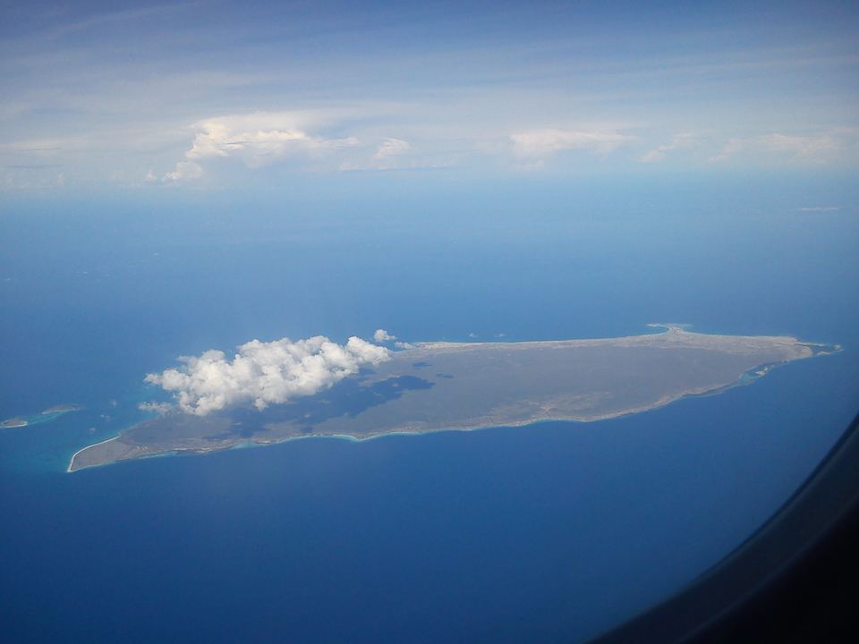 | La Tortuga seen from a light aircraft, a long low island in a deep-blue sea | sildibiasi | CC BY 3.0 (edited: colour and contrast) | Wikimedia Commons |
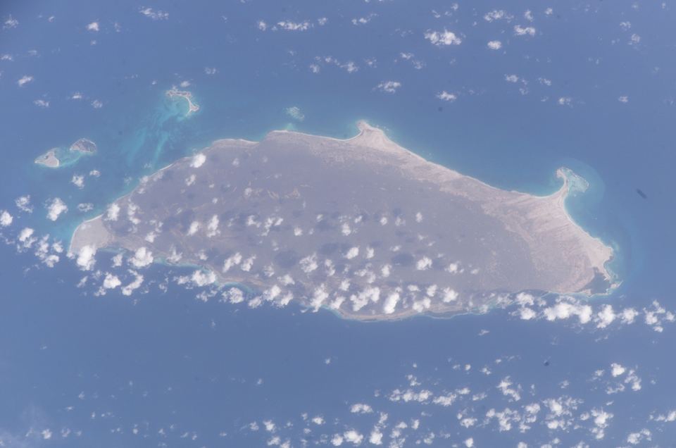 | La Tortuga photographed from the International Space Station, ringed by reefs | NASA, Earth Science and Remote Sensing Unit (ISS011-E-7373) | Public domain (edited: colour and contrast) | Wikimedia Commons |
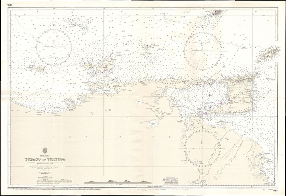 | 1894 British Admiralty nautical chart, Tobago to Tortuga | United Kingdom Hydrographic Office, Admiralty Chart No. 1480 (1894) | Public domain | Wikimedia Commons |
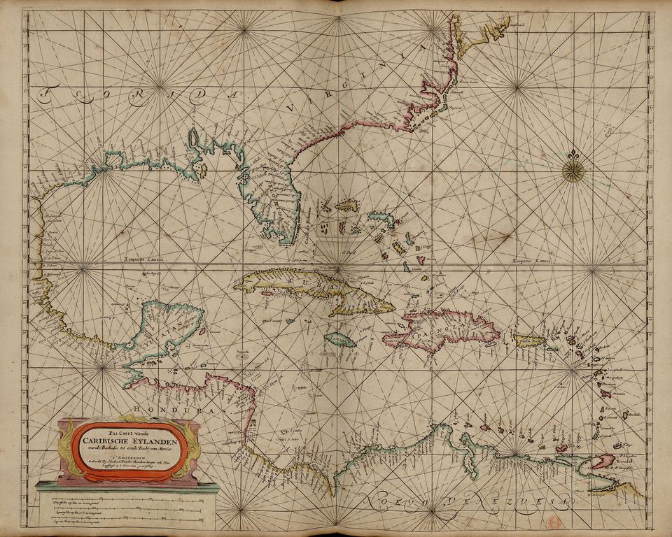 | 1672 Dutch chart of the Caribbean islands by Hendrick Doncker | Hendrick Doncker (1672) | CC BY-SA 4.0 | Wikimedia Commons |
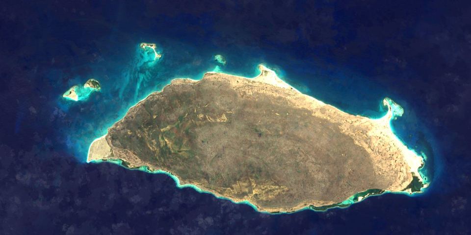 | Satellite image of the whole of Isla La Tortuga, with its turquoise reefs and the cays to the north-west | EOxCloudless (EOX IT Services GmbH), contains modified Copernicus Sentinel data 2016 | CC BY 4.0 (edited: tiles cropped, colour and contrast) | EOxCloudless |
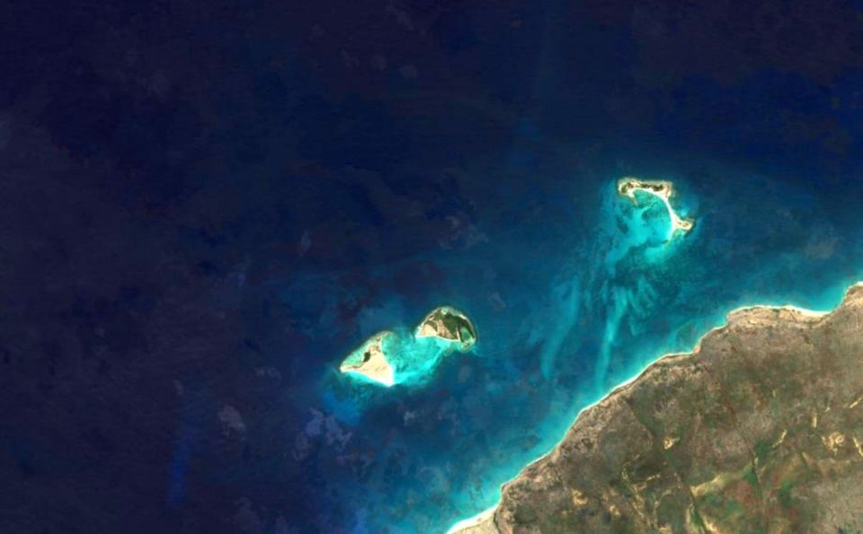 | Satellite image of Cayo Herradura and Los Tortuguillos, north-west of La Tortuga | EOxCloudless (EOX IT Services GmbH), contains modified Copernicus Sentinel data 2016 | CC BY 4.0 (edited: tiles cropped, colour and contrast) | EOxCloudless |
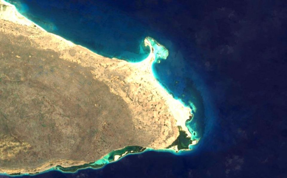 | Satellite image of the eastern end of La Tortuga, with Punta Delgada and its lagoons and reefs | EOxCloudless (EOX IT Services GmbH), contains modified Copernicus Sentinel data 2016 | CC BY 4.0 (edited: tiles cropped, colour and contrast) | EOxCloudless |
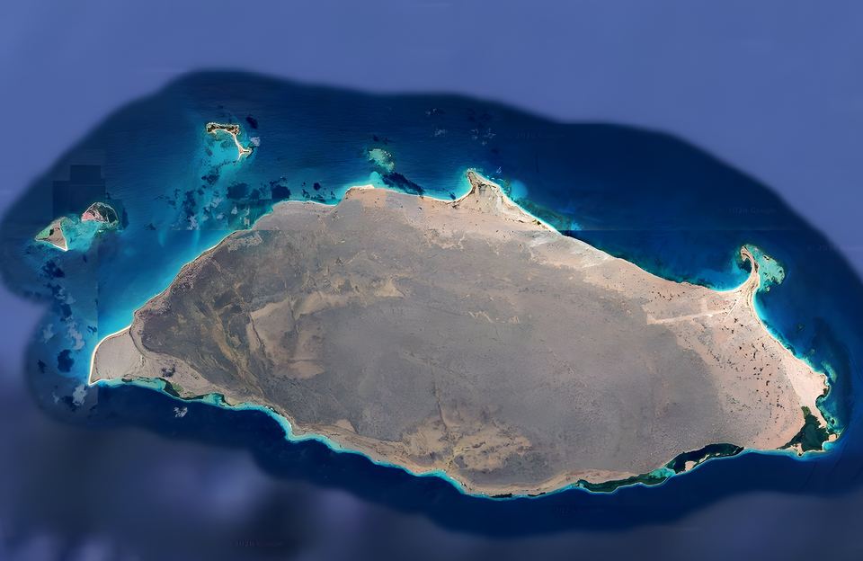 | Top-down view of the whole of Isla La Tortuga and its cays, ringed by turquoise reefs | Google Earth | Google Earth screenshot, used under Google's attribution guidelines (attribution kept visible on the image) | Google Geo Guidelines |
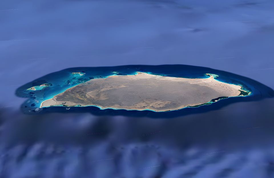 | Oblique view of La Tortuga, a long low island in the Caribbean | Google Earth | Google Earth screenshot, used under Google's attribution guidelines (attribution kept visible on the image) | Google Geo Guidelines |
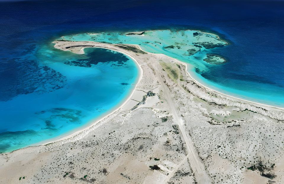 | Aerial view of the Punta Delgada bay and the airstrip at the east end of La Tortuga | Google Earth | Google Earth screenshot, used under Google's attribution guidelines (attribution kept visible on the image) | Google Geo Guidelines |
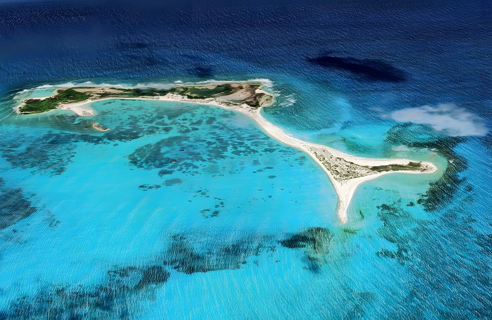 | Aerial view of Cayo Herradura over turquoise water | Google Earth | Google Earth screenshot, used under Google's attribution guidelines (attribution kept visible on the image) | Google Geo Guidelines |
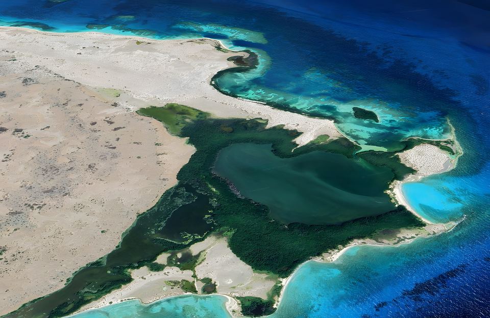 | Mangrove-fringed lagoon at the east end of La Tortuga | Google Earth | Google Earth screenshot, used under Google's attribution guidelines (attribution kept visible on the image) | Google Geo Guidelines |
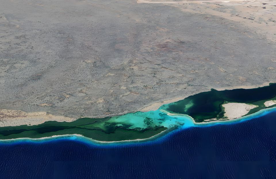 | Mangroves and reef along the south coast of La Tortuga | Google Earth | Google Earth screenshot, used under Google's attribution guidelines (attribution kept visible on the image) | Google Geo Guidelines |


Data and software
- Weather and marine data: Open-Meteo.com, CC BY 4.0.
- Map: Leaflet (BSD-2) and tiles © OpenStreetMap contributors (ODbL).
- Wind map: Windy.com.
- Typefaces: Cormorant Garamond and Inter, SIL Open Font License 1.1.
Photos marked "© islalatortuga.com" may not be reused without permission. CC BY-SA images keep their licence; the versions on this site are resized.