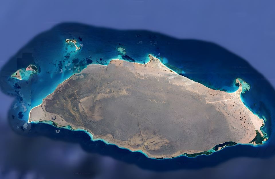
La Tortuga lies in the southern Caribbean, off Venezuela's central-eastern coast, at about 10° 55′ N, 65° 18′ W. Together with its cays it covers about 156.6 km², making it the country's second-largest oceanic island after Margarita.
- Area
- ≈ 156.6 km²including its cays
- Length
- ≈ 25 kmeast to west
- Coastline
- ≈ 65 kmof shore
- Distance
- ≈ 85 kmfrom Río Chico and Higuerote
Where it is
The island lies about 72 km north-east of Cabo Codera and about 120 km west of Margarita. It is roughly 85 km from the Miranda coast (Río Chico, Higuerote) and about 170 km from Caracas. From Lechería and Puerto La Cruz (Anzoátegui) it is about 100–115 km (54–62 nautical miles) in a straight line, depending on where you land: about 99 km (53 nm) to Punta Delgada in the east and about 115 km (62 nm) to Cayo Herradura in the north-west. These are approximate figures we calculated from coordinates; the actual sailing route is somewhat longer. Its outline is a long ellipse stretching east to west.
The cays
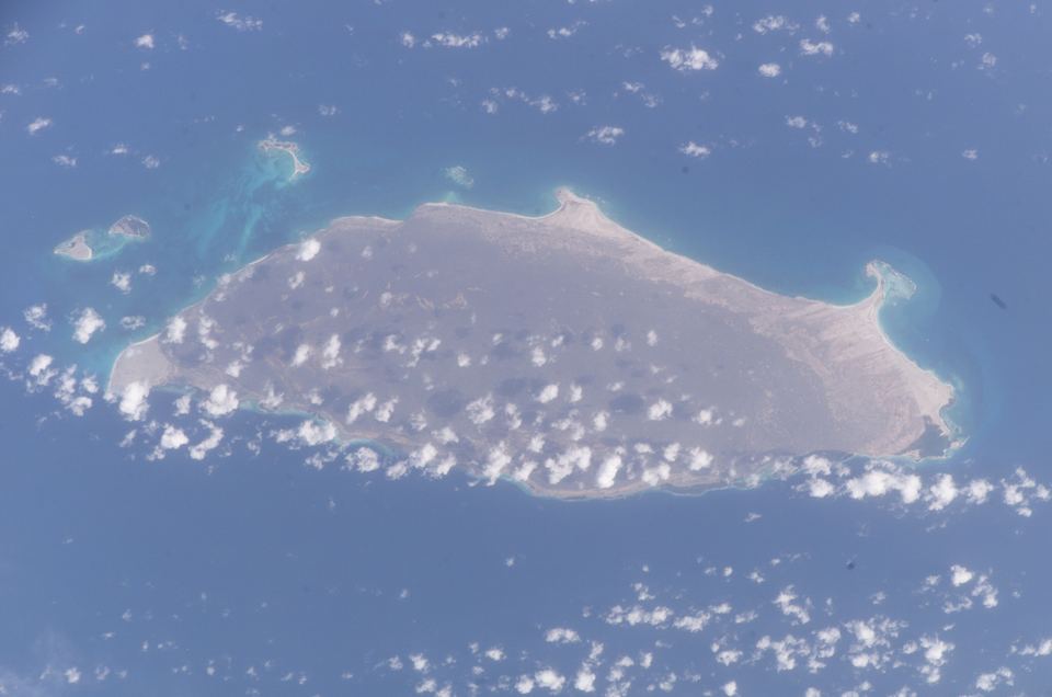
North and north-west of the main island lie the cays: Cayo Herradura and the two Tortuguillos (East and West). The group also includes the Los Palanquines shoals, the Ño Martín cays, El Vapor islet and the Punta de Ranchos cays.
Cayo Herradura ("Horseshoe Cay") is a sand spit about 1,600 m long and 60–400 m wide; its calm inner beach forms a bay where sailing boats and motor boats anchor.
Landscape and climate
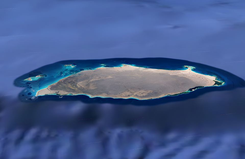
The ground is coral limestone with dry-adapted (xerophytic) vegetation, surrounded by coral reefs, mangroves and wide seagrass meadows. It is a dry coastal environment: Marín and colleagues describe mean annual temperatures above 28 °C and 300–1,000 mm of rain a year. Thorny coastal scrub dominates, and the inland lagoons are fringed with mangrove.
Who governs it?
La Tortuga is a Federal Dependency. Under the 1938 Organic Law of the Federal Dependencies, it is governed and administered directly by the national government: it belongs to no state or municipality and has no governor or mayor. The Venezuelan Navy keeps small posts and patrols its coasts.
No one lives here permanently. Artisanal fishers from Margarita and the Miranda coast come seasonally, and tourism by motor boat, sailing boat and yacht has grown in recent decades.
The largest Federal Dependency
La Tortuga is the largest of the Federal Dependencies and the country's second-largest oceanic island, with no permanent population.