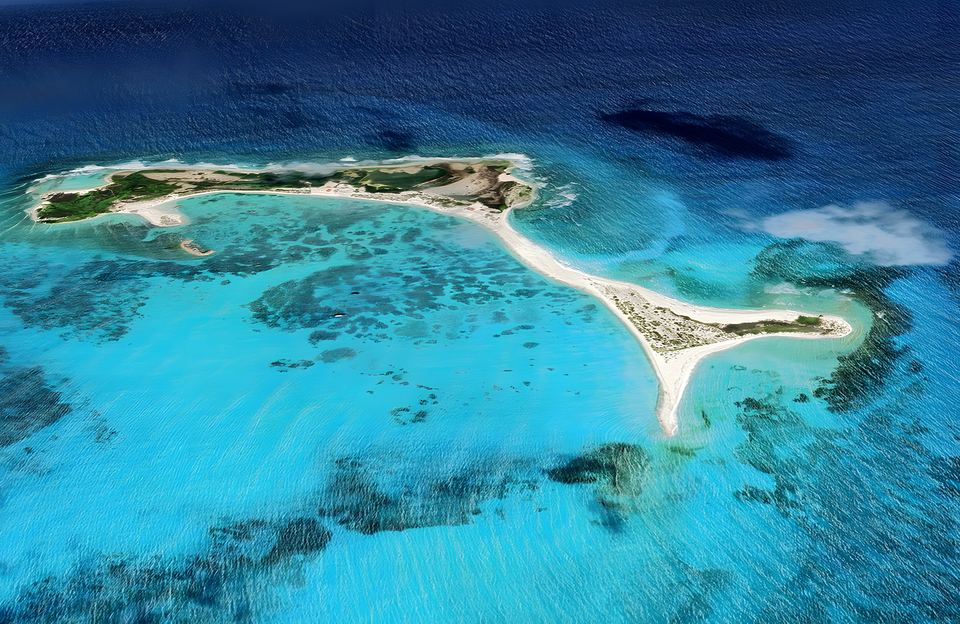
We only pin places whose coordinates come from OpenStreetMap or a published study. Other places are described below, without a pin.
List of places on the map
- Cayo Herradura (10.9977, -65.3782): Sand spit with a calm inner beach and a lighthouse. OpenStreetMap
- Playa Caldera (10.9506, -65.2273): Tourist pier and large Venezuela sign. OpenStreetMap
- Punta Delgada (10.9513, -65.2262): Eastern tip; Caldera and El Yaque beaches. OpenStreetMap
- Los Mogotes Lagoon (10.9064, -65.2075): The only lagoon open to the sea; the largest Dutch saltpan. Marín et al. 2011
- Boca de Cangrejo Lagoon (10.9222, -65.3969): Highest shorebird counts (August–September). Marín et al. 2011
- Tortuguillo Este lagoon (10.9719, -65.4178): Cay lagoon important for shorebirds. Marín et al. 2011
- Punta de Ranchos ponds (10.9833, -65.3069): Four seasonal saltwater ponds. Marín et al. 2011
Cayo Herradura
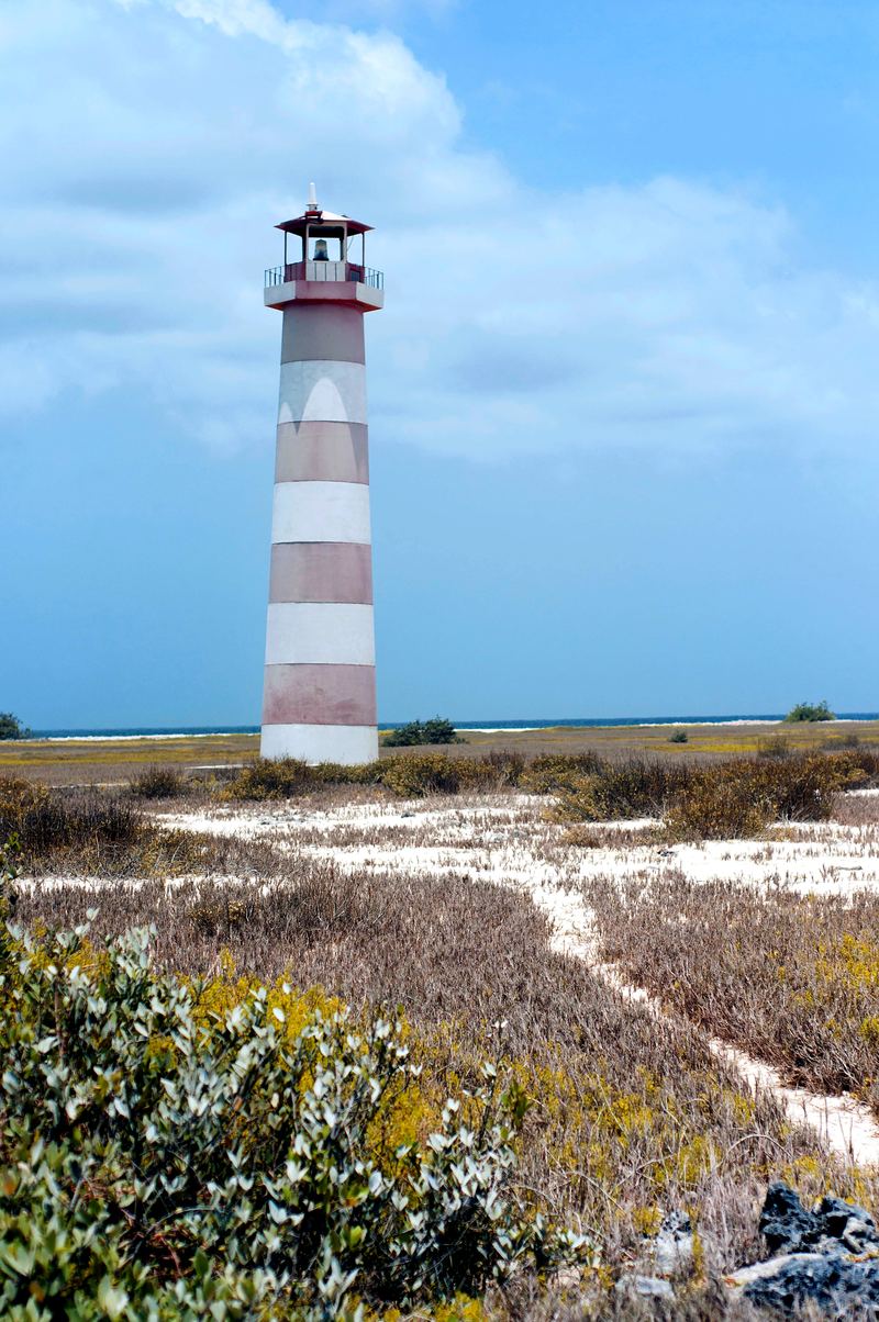
A horseshoe-shaped sand spit about 1,600 m long, with patches of low scrub and a calm inner beach that forms a bay. It is one of the most popular cays, and it has a lighthouse.
Punta Delgada and Playa Caldera
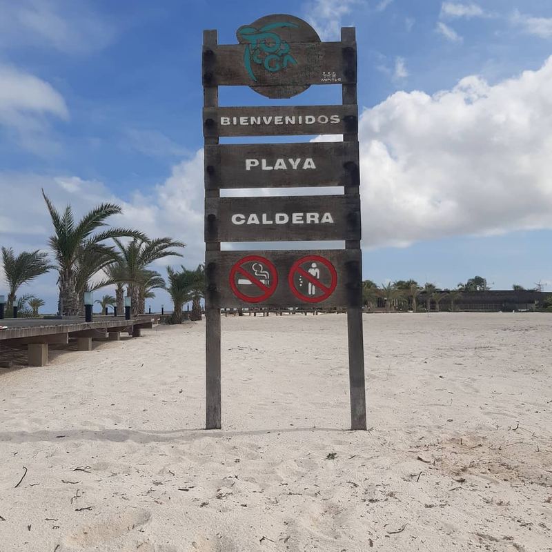
At the eastern tip, Punta Delgada (also called Punta del Este) has two main beaches: Playa Caldera and Playa El Yaque. Caldera has a tourist pier, a large sign spelling out "Venezuela" and an eco-tourism complex; it gets more direct swell.
The lagoons
Los Mogotes, in the east, is the only studied lagoon directly connected to the sea, and it was the largest Dutch saltpan. Boca de Cangrejo, in the west, holds the most shorebirds in August and September.
Not pinned on the map
- Punta Salinas: archaeological site of the Dutch saltworks, excavated in 1993, 2009 and 2010.
- Los Tortuguillos: two cays, Tortuguillo del Este and del Oeste, that almost touch.
- Bahía Carenero and Punta Oriental.
- Los Palanquines, the Ño Martín cays and El Vapor islet.